-
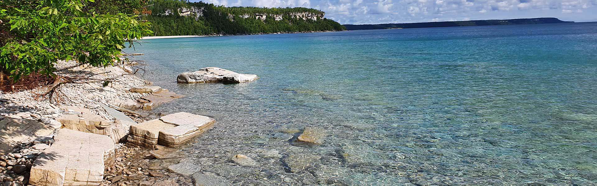
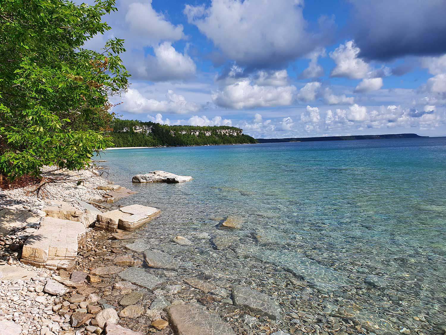
Photo: Beach at Devil's Monument
Menu
The Devil’s Monument: Minhinick, LeFeuvre-Chupac and Schneider properties
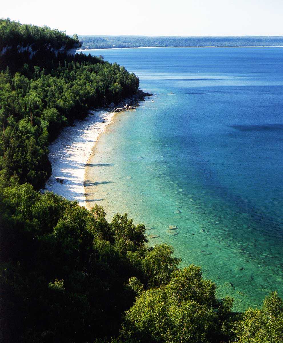
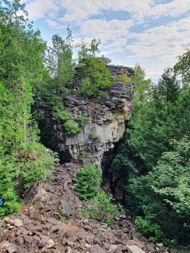
The Devil’s Monument comprises the Minhinick, LeFeuvre-Chupac and Schneider properties. The name refers to the presence of a flowerpot that has long been a draw for locals and tourists alike. It is the only complete flowerpot on land along the east side of the Bruce Peninsula.
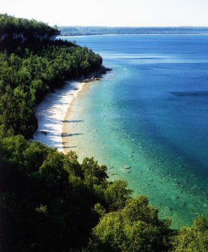
The Ontario Heritage Trust took ownership of these properties in 1998 with an agreement with the Bruce Trail Conservancy to manage all three of these properties. These properties are located south of Dyer’s Bay in the Municipality of Northern Bruce Peninsula, County of Bruce. These properties collectively protect approximately 44 hectares (108 acres) of environmentally sensitive coastal lands along the Niagara Peninsula, and support 279 documented species, including 218 plant and fungal species plus 61 faunal ones.
Public access
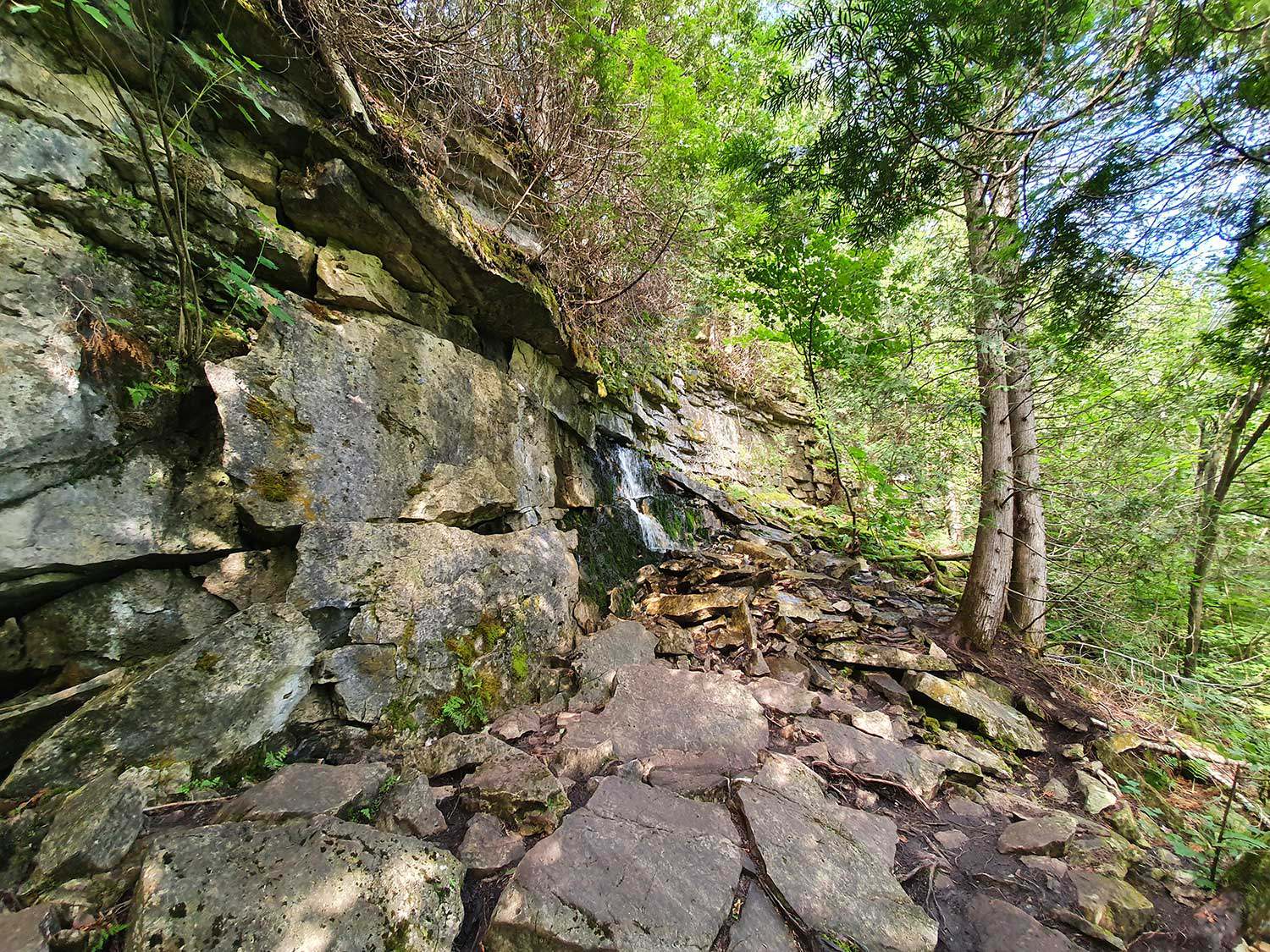
There are parking lots at the end of Borchardt Drive and on Dyer’s Bay Road. The volunteer Peninsula Club of the Bruce Trail Conservancy maintains over 3.1 kilometres (1.9 miles) of hiking trails on these properties. A series of steps from the main trail down the escarpment enables hikers to access the base of the flowerpot and beach. Please stay on the trail and stay off the flowerpot feature when visiting this site. Learn more about the Peninsula section of the Bruce Trail.
Map
Heritage value
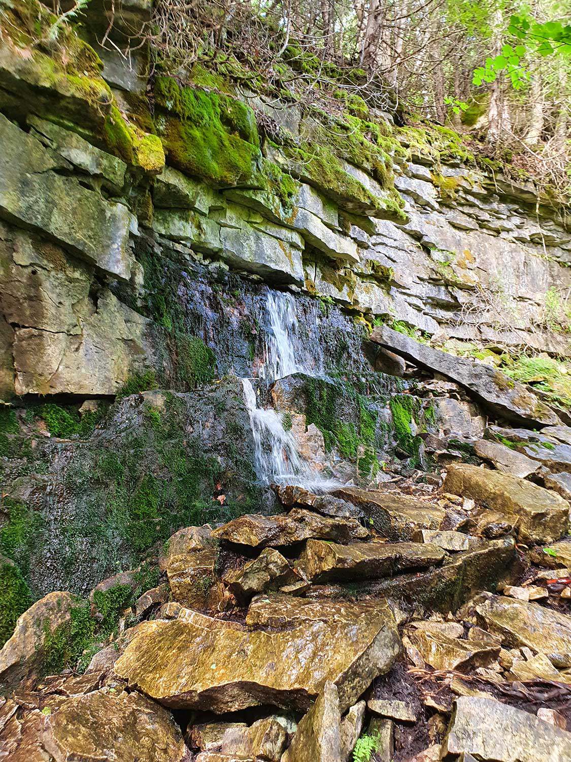
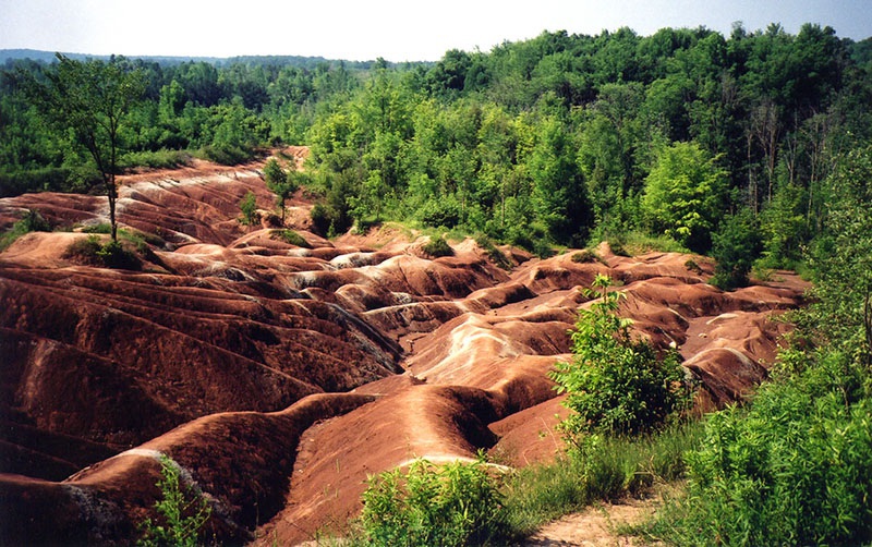
These properties are part of the provincially designated Niagara Escarpment Parks and Open Spaces System, which contains a rare sugar maple-hardwood calcareous shallow deciduous forest and provides habitat for rare species–including the massassauga rattlesnake, peregrine falcon, eastern wood-pewee and round-leaved ragwort. The Minhinick, LeFeuvre-Chupac and Schneider properties are primarily dominated by hardwood forest with the presence of alvars, cliffs and coastline, among the 10 vegetation communities found onsite. The bedrock of these properties is described as grey or grey-blue dolostone of the amabel and fossil hill formations from the Silurian era.
A glacial pothole exists in the northern property that is accessible from a dedicated side trail. This pothole was created during a period of glaciations when immense amounts of pressure and strong water currents from glacial activity that scoured out this feature.
Photo gallery
-
Flowerpot -
Aerial view of stone beach -
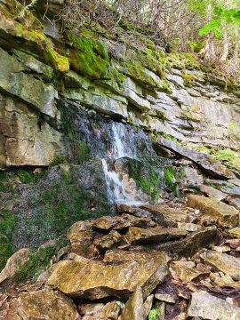
Natural spring waterfall -
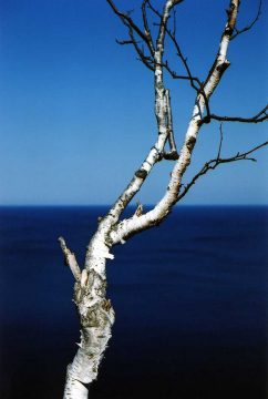
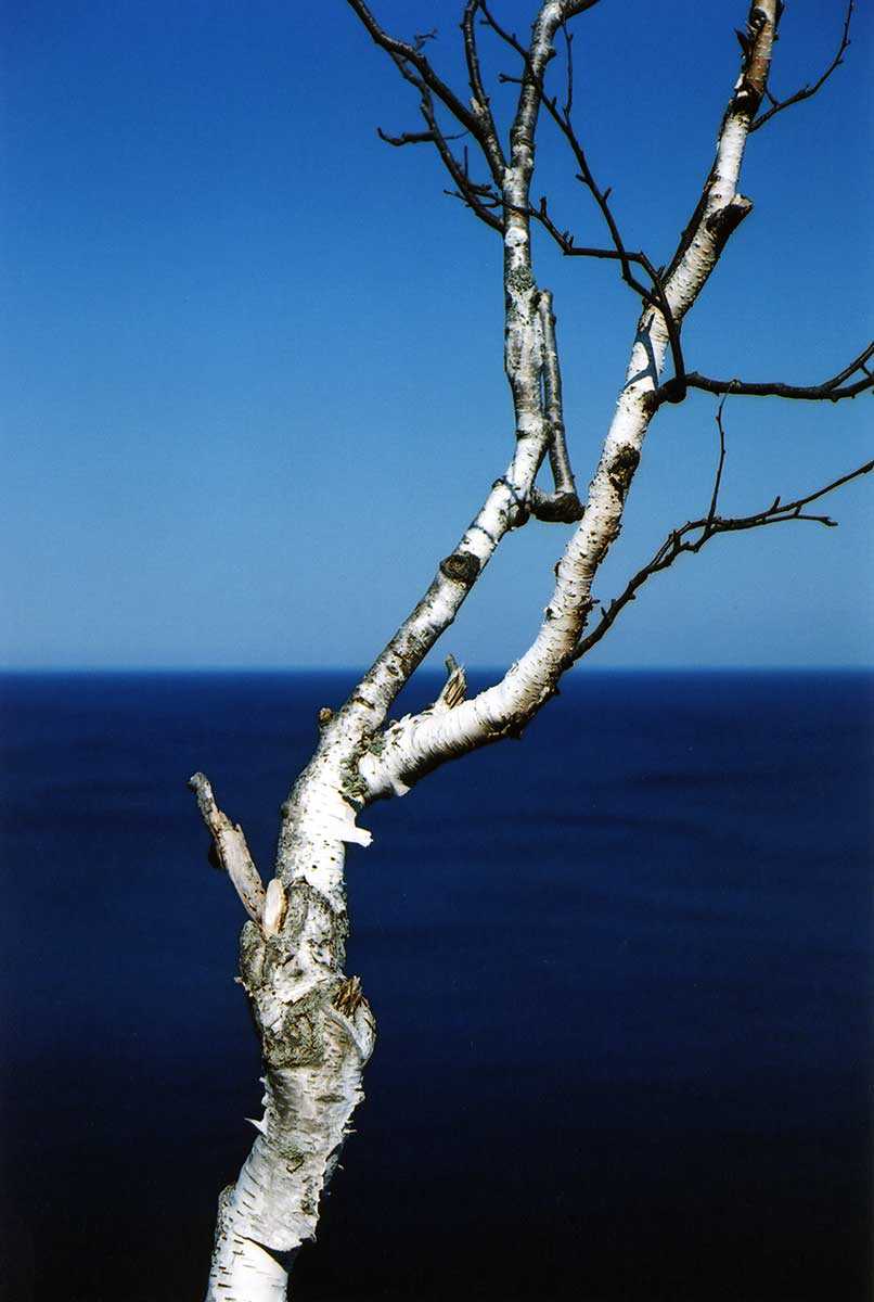
Birch tree -
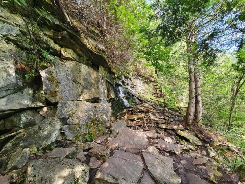
Underground spring -

Stone beach -
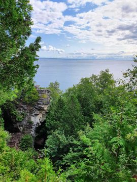
Scenic lookout