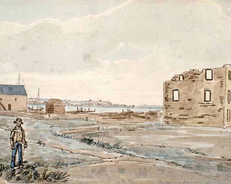
Point Frederick
This strategic location was established for the defence of the loyalist settlement at Cataraqui (now Kingston).
Location:
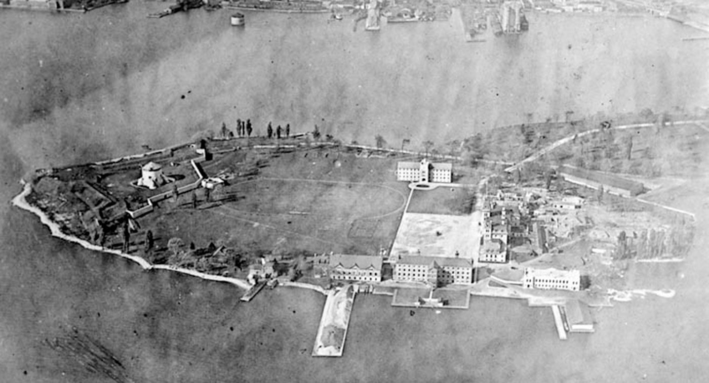
At the tower, on the grounds of the Royal Military College of Canada, County Road 2, Kingston
Themes:
Buildings and structures, War and conflict
Plaque text:
A strategic location for the defence of the loyalist settlement at Cataraqui (Kingston), this point was reserved in 1788 and named after Sir Frederick Haldimand, Governor of Quebec (1778-86). In 1790-91, a guardhouse and storehouse were built. By 1792, a dockyard was in operation and during the War of 1812 this vital naval base was fortified. On November 10, 1812, the Fort Frederick battery took part in repulsing an American naval squadron under Commodore Isaac Chauncey. This structure, one of four massive stone Martello towers built to strengthen Kingston's defences, was erected in 1846-47 during the Oregon Boundary crisis between the United States and Britain. In 1852, the dockyard was closed and, in 1870, Fort Frederick was abandoned.